I left Stovepipe Wells at 5:50 am. I had to cover 500 miles, so I promised myself I wouldn’t stop for pictures.
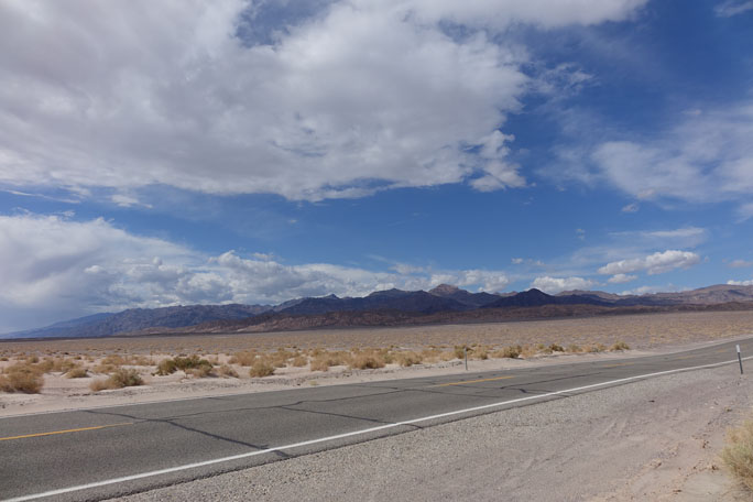
I had taken a bunch on the way in, anyway, including the one of the Devil’s Cornfield, above. The cornfield lies at 150 feet below sea level, and the road keeps going downhill from there.
The road from Stovepipe Wells heads more or less West, and straight up. Stovepipe Wells is at sea level. If you get there from the East, like I did, you’ll get to almost 300 feet below sea level. I couldn’t stop imagining whales and schools of yellow fin swimming in the air over my head.
 Anyway, once you leave Stovepipe Wells and head West just after the toll road in the pic, it’s straight up. No curves. Just up. Until you hit 4500 feet above sea level. At which point, if it’s 6:00 am, you realize how cold it is. I stopped and put on some warm gear.
Turns out, Death Valley is actually two valleys. Once you get up to the top of the West valley, you get to go down it. It is blessed with a 9% grade.
You’re probably not that interested in the algorithm for calculating the amount of fuel left in a Harley’s gas tank, but to give you a rough idea, when I hit the top of the ridge between the valleys, my gauge indicated 72 miles left in the tank. Five miles later, when I hit the bottom of the second valley, I magically had 113 miles worth of fuel.
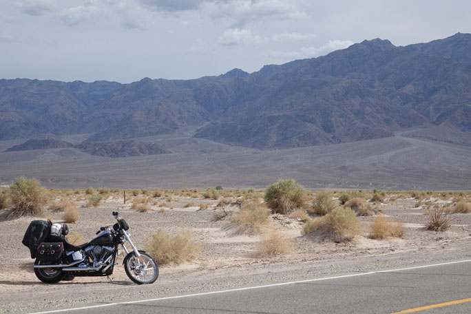
The road leading out of the second valley is a sportbiker’s dream. Beautiful curves. But I was distracted by the vistas. The sun was peeking over the East ridge, lighting up just pieces of the landscape around me, leaving others dark. To make it even more interesting for somebody who hadn’t sworn off photography for the day, the sky to the West was dark grey. So the sun lit up the desert in front of me, making the Joshua trees pop. It was gorgeous.
I wasn’t able to post last night because here, in Silicon Valley, the wifi is slower than in the middle of Nowhere, Utah. The farmers in Wenatchee ship their best apples to other states, where they’re more precious. I suppose Silicon Valley exports most of the broadband it grows, too.
Total distance 524 miles, including about 30 extra because somebody missed a turn. Elapsed time: 11 hours. Will post more about Zion and other parts of the trip when I can find some bandwidth.
GiG
